By car (off-peak)
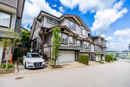
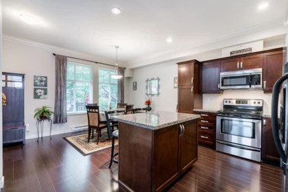
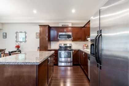
Sold
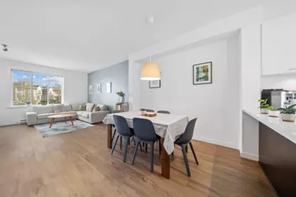
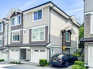
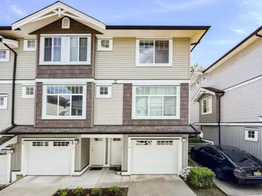
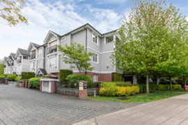
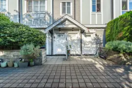
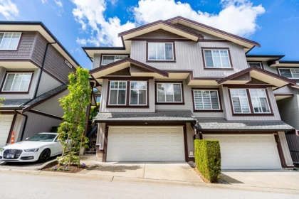
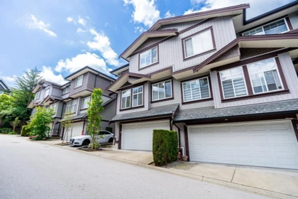
17 14462 61a Avenue, Surrey, BC
4
Beds
4
Baths
1701
sqft
2009
built

51 13239 Old Yale Road, Surrey, British Columbia V3T 3C5

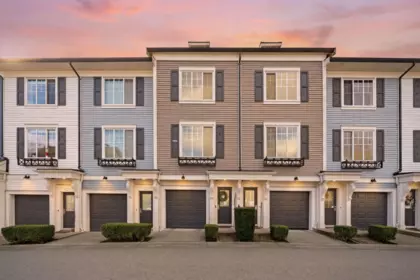
13239 Old Yale Road, Whalley, Surrey
Fuse building detailsBuilding
Bylaws on record
Market at Fuse
$576/sqft, 6.2% below the building median of $614.
From MLS® and public strata records. Verify against the current Form B and registered bylaws.
Public Schools
Information includes BC Government Open License data; school details change often and are offered solely as general guidance.
Private Schools
Closest Transit
Crime Rate
Demographics
Noise/ Power Lines
Other
51 13239 Old Yale Road has a sell-speed score of 48/100, placing it in the "Expected to sell at a moderate pace" band. The listing is priced 0.2% above comparable active properties in Whalley. Based on these signals, EstateBlock predicts this listing is may take several weeks to attract serious offers.
Natural hazards vary by location and can change over time. The following provides a summary of potential impacts to this area, postal code V3T 3C5, over the next 30 years. Projections use the 2041–2070 period (2050s) under a moderate emissions scenario (SSP2-4.5).
Outside of designated flood hazard zones. Under 10% of buildings in this area have flood risk over the next 30 years.
Located within the "Vancouver" WUI zone (Risk Class 5 — Low). Based on BC Wildfire Service provincial WUI Risk Class mapping; not a site-specific assessment.
Annual avg PM2.5 4.5 µg/m³ — meets WHO 2021 guideline. Nearest station: North Delta, Delta (~4.7 km). Annual avg AQHI 2.1 — Low Risk.
Surrey currently sees ~1 day above 30 °C per year (1981–2010 baseline), projected to rise to ~8 by the 2050s (SSP2-4.5 moderate emissions). Hottest day of the year: ~30 °C baseline, ~32.5 °C projected. Tropical nights (>18 °C): ~0 baseline, ~3 projected.
Annual precipitation ~1516 mm (1981–2010 baseline), projected ~1574 mm by the 2050s. Extreme 1-day rainfall: ~51.5 mm baseline, ~57.1 mm projected. Values vary modestly across the Lower Mainland.
Longest annual dry spell (consecutive dry days): ~23 days baseline, ~24 days projected for the 2050s. CDD is used as a regional drought proxy; drought risk varies modestly across the Lower Mainland.


26 Schools are within 3km
| School | Type | Grades Served | Catchment Info | Rating | Distance |
|---|---|---|---|---|---|
Old Yale Road Elementary School |
Public |
Grades ServedK-7
|
Catchment InfoIn Catchment
|
Distance124 m
|
|
Kwantlen Park Secondary School |
Public |
Grades Served8-12
|
Catchment InfoIn Catchment
|
Distance547 m
|
|
K B Woodward Elementary School |
Public |
Grades ServedK-7
|
Catchment Info—
|
Distance853 m
|
|
City Central Learning Centre |
Public |
Grades Served10-12
|
Catchment Info—
|
Distance1.42 KM
|
|
Our Lady of Good Counsel |
Independent |
Grades ServedK-7
|
Catchment Info—
|
Distance1.49 KM
|
|
Prince Charles Elementary School |
Public |
Grades ServedK-7
|
Catchment Info—
|
Distance1.62 KM
|
|
Continuing Ed SD36 (Queen Elizabeth) |
Public |
Grades Served—
|
Catchment Info—
|
Distance1.68 KM
|
|
Betty Huff Elementary School |
Public |
Grades ServedK-7
|
Catchment Info—
|
Distance1.68 KM
|
|
Queen Elizabeth Secondary School |
Public |
Grades Served8-12
|
Catchment Info—
|
Distance1.69 KM
|
|
Forsyth Road Elementary School |
Public |
Grades ServedK-7
|
Catchment Info—
|
Distance1.75 KM
|
|
Cedar Hills Elementary School |
Public |
Grades ServedK-7
|
Catchment Info—
|
Distance1.92 KM
|
|
Lena Shaw Elementary School |
Public |
Grades ServedK-7
|
Catchment Info—
|
Distance2.07 KM
|
|
Senator Reid Elementary School |
Public |
Grades ServedK-7
|
Catchment Info—
|
Distance2.17 KM
|
|
David Brankin Elementary School |
Public |
Grades ServedK-7
|
Catchment Info—
|
Distance2.22 KM
|
|
Simon Cunningham Elementary School |
Public |
Grades ServedK-7
|
Catchment Info—
|
Distance2.31 KM
|
|
Cindrich Elementary School |
Public |
Grades ServedK-7
|
Catchment Info—
|
Distance2.34 KM
|
|
James Ardiel Elementary School |
Public |
Grades ServedK-7
|
Catchment Info—
|
Distance2.38 KM
|
|
North Surrey Learning Centre |
Public |
Grades Served10-12
|
Catchment Info—
|
Distance2.41 KM
|
|
L A Matheson Secondary School |
Public |
Grades Served8-12
|
Catchment Info—
|
Distance2.43 KM
|
|
Education Services (Alternate) |
Public |
Grades Served—
|
Catchment Info—
|
Distance2.51 KM
|
|
SD 36 Alternate North Surrey LC |
Public |
Grades Served—
|
Catchment Info—
|
Distance2.52 KM
|
|
Creekside Elementary School |
Public |
Grades ServedK-7
|
Catchment Info—
|
Distance2.57 KM
|
|
Surrey Traditional School |
Public |
Grades ServedK-7
|
Catchment Info—
|
Distance2.61 KM
|
|
Mary Jane Shannon Elementary School |
Public |
Grades ServedK-7
|
Catchment Info—
|
Distance2.62 KM
|
|
Guildford Park Secondary School |
Public |
Grades Served8-12
|
Catchment Info—
|
Distance2.84 KM
|
|
Kirkbride Elementary School |
Public |
Grades ServedK-7
|
Catchment Info—
|
Distance2.93 KM
|
Calculate your commute
51 13239 Old Yale Rd, Surrey, BC is ideally located for commuters. The property is 0.6 km from Surrey Central, with a 48 min SkyTrain ride to Downtown Vancouver (Waterfront Station). The closest bus stop is Eastbound Old Yale Rd @ 132 St (0.04 km). Walk Score Transit rating: Excellent Transit (88/100).


Buy Vs Rent Calculator
Rent vs own
—

Potential Cashback for this listing if you buy with us
to track your cashback progress
Buy with us & save on this property
$550,000
126 13228 Old Yale Road, Surrey, BC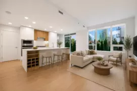
$699,000
4 10160 133 Street, Surrey, BC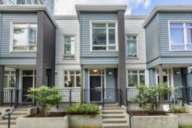
$645,000
TH11 10290 133 Street, Surrey, BC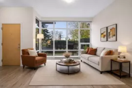
$708,000
TH6 10378 133 Street, Surrey, BC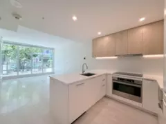
$649,000
TH10 10388 133 Street, Surrey, BC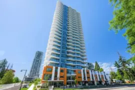 6.7% price reduction
$699,900
TH16 13318 104 Avenue, Surrey, BC
$558,000
TH103 13438 Central Avenue, Surrey, BC
$499,900
29 10090 137a Street, Surrey, BC
$699,000
5 13720 100 Avenue, Surrey, BC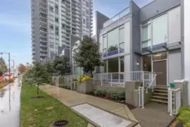
$698,000
1 13720 100 Avenue, Surrey, BC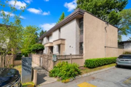
$679,900
36 13795 102 Avenue, Surrey, BC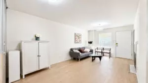
$639,900
6 9977 138 Street, Surrey, BC