By car (off-peak)
Sold
32 6199 Birch Street, Richmond, BC
4
Beds
4
Baths
1539
sqft
2012
built

SL10 4611 Steveston Highway, Richmond, British Columbia V7E 2K4
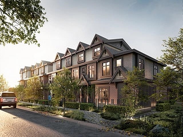
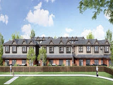
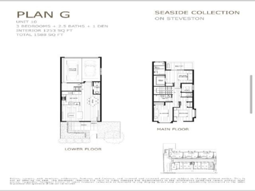
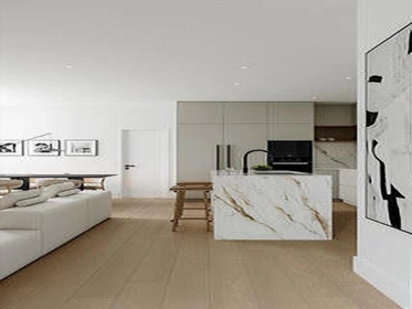
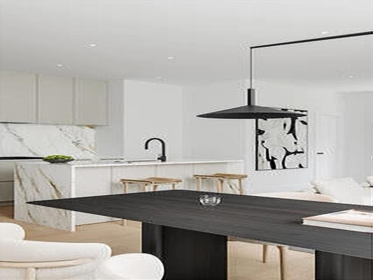


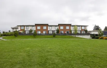
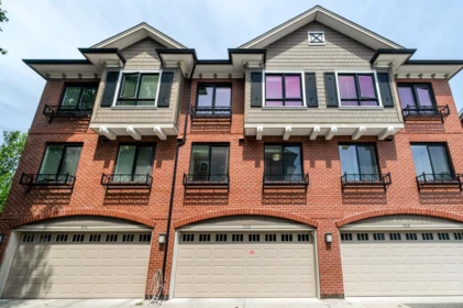
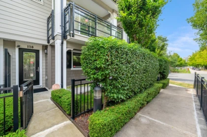
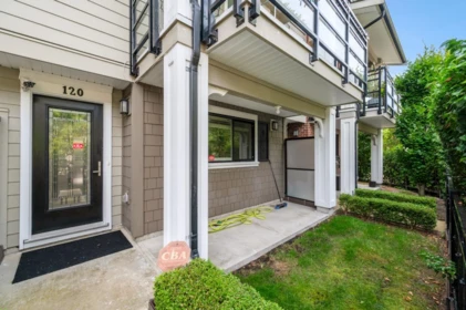
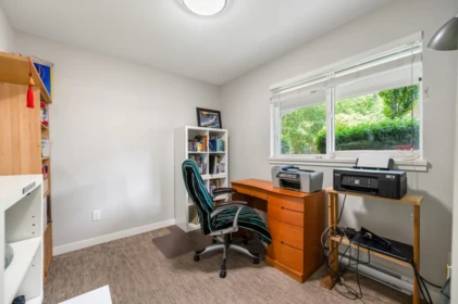
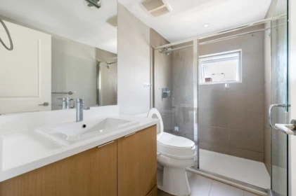
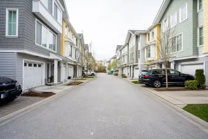
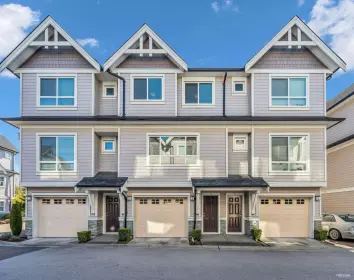
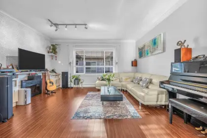
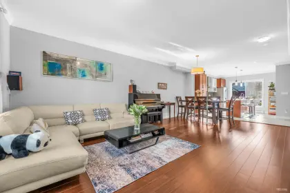
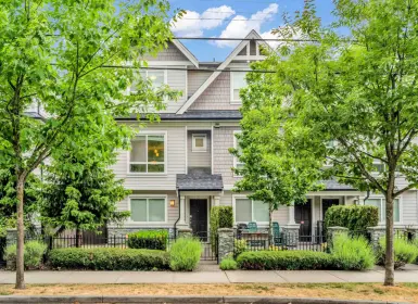
Welcome to Seaside Collection! the luxury townhomes located in the historic Steveston neighborhood in West Richmond. Enjoy this spacious 3 bedroom 2.5 bath 1 den CORNER UNITE townhome with contemporary modern European-concept architect, complemented by high-quality building materials, modern interior living, private yard and a balcony. Seaside Collection's 2 level home features 9" ceilings on the main, gourmet kitchen with Miele appliances, spacious master bedroom, A/C, private backyard and side-by-side attached garages. Minutes to Steveston Community Centre, SEASIDE Fisherman's Wharf/ Garry Point Park/ West Dyke Trails and top rated Richmond schools. Completion around the end of 2026.
| Basement Finished Area (sqft) | 0 |
|---|---|
| Basement Features | None |
| Appliances Included | Washer/Dryer, Dishwasher, Refrigerator, Stove |
| Fireplace | 0 |
| Heating Type | Other |
| # of Kitchens | 1 |
| Flooring | Mixed |
| Foundation | Concrete Perimeter |
| Exterior Features | Playground, Balcony |
|---|---|
| Roof | Asphalt |
| Structures | Residential Attached |
| Price | $1,498,000 |
|---|---|
| Total Bedrooms | 3 |
| Total Bathrooms | 3 |
| Full Bathrooms | 2 |
| Half Bathrooms | 1 |
| Floor Area Total (sqft) | 1253 |
| Year Built | 2026 |
| Age Of Building | 0 |
| Building Type | Townhouse |
| Property Type | Residential |
| Stories | 2 |
| Building Amenities | Maintenance Grounds, Management |
| Building Name | Seaside Collection |
| Ownership Type | Freehold Strata |
| Maintenance Fee | $350 |
| Amenities Nearby | Maintenance Grounds, Management |
| Utility Type | Electricity Connected, Natural Gas Connected, Water Connected |
| Utility Sewer | Public Sewer, Sanitary Sewer, Storm Sewer |
| Water (WaterSource) | Public |
| Parking Type | Garage Double |
| Total Parking Spaces | 1 |
| Strata Restrictions | Pets Allowed,Rentals Allowed |
| Pet Restrictions | Yes |
| Units In Development | 16 |
| Lot Size Depth | Feet |
|---|---|
| MLS® # | R3036349 |
| Area | Richmond |
| Neighbourhood | Steveston North |
| City | Richmond |
| Postal Code | V7E 2K4 |
| Gross Taxes | 0 |
| Zoning | RTL4 |
| Floor | Type | Dimensions |
|---|---|---|
| Main Level | Living Room | 11' x 11' ft |
| Main Level | Dining Room | 12' x 12' ft |
| Main Level | Kitchen | 8' x 8' ft |
| Above Level | Primary Bedroom | 13' x 13' ft |
| Above Level | Bedroom | 12' x 12' ft |
| Above Level | Bedroom | 10' x 10' ft |
| Floor | Ensuite | Pieces |
|---|---|---|
| Above Level | Yes | #3 |
| Above Level | No | #3 |
| Main Level | No | #2 |
Listed by: Multiple Realty Ltd.
NOTE: This representation is based in whole or in part on data generated by the Chilliwack & District Real Estate Board, Fraser Valley Real Estate Board or Greater Vancouver REALTORS® which assumes no responsibility for its accuracy.
Public Schools
Information includes BC Government Open License data; school details change often and are offered solely as general guidance.
Private Schools
Closest Transit
Crime Rate
Demographics
Noise/ Power Lines
Other
SL10 4611 Steveston Highway has a sell-speed score of 47/100, placing it in the "Expected to sell at a moderate pace" band. The listing is priced 15% above comparable active properties in Steveston North. The local market is currently a Balanced Market with a sales-to-active ratio of 16.7% and an area average of 44 days on market — conditions are balanced. With only 353 competing homes currently listed, this property has significant competition. Based on these signals, EstateBlock predicts this listing is may take several weeks to attract serious offers.
Natural hazards vary by location and can change over time. The following provides a summary of potential impacts to this area, postal code V7E 2K4, over the next 30 years. Projections use the 2041–2070 period (2050s) under a moderate emissions scenario (SSP2-4.5).
Outside of designated flood hazard zones. Under 10% of buildings in this area have flood risk over the next 30 years.
Located within the "Vancouver" WUI zone (Risk Class 5 — Low). Based on BC Wildfire Service provincial WUI Risk Class mapping; not a site-specific assessment.
Annual avg PM2.5 4.1 µg/m³ — meets WHO 2021 guideline. Nearest station: Vancouver International Airport #2, Richmond (~6 km). Annual avg AQHI 2.2 — Low Risk.
Richmond currently sees ~1 day above 30 °C per year (1981–2010 baseline), projected to rise to ~6 by the 2050s (SSP2-4.5 moderate emissions). Hottest day of the year: ~29.8 °C baseline, ~32 °C projected. Tropical nights (>18 °C): ~0 baseline, ~3 projected.
Annual precipitation ~1117 mm (1981–2010 baseline), projected ~1159 mm by the 2050s. Extreme 1-day rainfall: ~39.9 mm baseline, ~44.4 mm projected. Values vary modestly across the Lower Mainland.
Longest annual dry spell (consecutive dry days): ~25 days baseline, ~27 days projected for the 2050s. CDD is used as a regional drought proxy; drought risk varies modestly across the Lower Mainland.


24 Schools are within 3km
| School | Type | Grades Served | Catchment Info | Rating | Distance |
|---|---|---|---|---|---|
John G Diefenbaker Elementary School |
Public |
Grades ServedK-7
|
Catchment InfoIn Catchment
|
Distance460 m
|
|
Robert A. McMath Secondary |
Public |
Grades Served—
|
Catchment Info—
|
Distance558 m
|
|
Westwind Elementary School |
Public |
Grades ServedK-7
|
Catchment Info—
|
Distance739 m
|
|
Lord Byng Elementary School |
Public |
Grades ServedK-7
|
Catchment Info—
|
Distance740 m
|
|
James McKinney Elementary School |
Public |
Grades ServedK-7
|
Catchment Info—
|
Distance743 m
|
|
St Joseph the Worker |
Independent |
Grades Served—
|
Catchment Info—
|
Distance852 m
|
|
Mia Montessori Academy |
Independent |
Grades Served—
|
Catchment Info—
|
Distance1.02 KM
|
|
Manoah Steves Elementary |
Public |
Grades Served—
|
Catchment Info—
|
Distance1.08 KM
|
|
Jessie Wowk Elementary School |
Public |
Grades ServedK-7
|
Catchment Info—
|
Distance1.26 KM
|
|
Tomekichi Homma Elementary School |
Public |
Grades ServedK-7
|
Catchment Info—
|
Distance1.29 KM
|
|
Hugh Boyd Secondary School |
Public |
Grades Served8-12
|
Catchment InfoIn Catchment
|
Distance1.36 KM
|
|
Alfred B Dixon Elementary |
Public |
Grades Served—
|
Catchment Info—
|
Distance1.55 KM
|
|
Steveston-London Secondary School |
Public |
Grades Served8-12
|
Catchment Info—
|
Distance1.83 KM
|
|
des Navigateurs |
Public |
Grades Served—
|
Catchment Info—
|
Distance1.99 KM
|
|
James Gilmore Elementary School |
Public |
Grades ServedK-7
|
Catchment Info—
|
Distance2.25 KM
|
|
R M Grauer Elementary School |
Public |
Grades ServedK-7
|
Catchment Info—
|
Distance2.36 KM
|
|
Maple Lane Elementary School |
Public |
Grades ServedK-7
|
Catchment Info—
|
Distance2.39 KM
|
|
John T Errington Elementary School |
Public |
Grades ServedK-7
|
Catchment Info—
|
Distance2.44 KM
|
|
Errington Learning Centre |
Public |
Grades Served—
|
Catchment Info—
|
Distance2.49 KM
|
|
Ark Elementary Montessori Reggio School |
Independent |
Grades Served—
|
Catchment Info—
|
Distance2.68 KM
|
|
Blundell Elementary School |
Public |
Grades ServedK-7
|
Catchment Info—
|
Distance2.80 KM
|
|
Quilchena Elementary School |
Public |
Grades ServedK-7
|
Catchment Info—
|
Distance2.90 KM
|
|
Donald E McKay Elementary School |
Public |
Grades ServedK-7
|
Catchment Info—
|
Distance2.91 KM
|
|
William Bridge Elementary School |
Public |
Grades ServedK-7
|
Catchment Info—
|
Distance2.98 KM
|
Calculate your commute
SL10 4611 Steveston Hwy, Richmond, BC is ideally located for commuters. The property is 4.6 km from Brighouse, with a 83 min SkyTrain ride to Downtown Vancouver (Waterfront Station). The closest bus stop is Westbound Steveston Hwy @ Bonavista Gate (0.05 km). Walk Score Transit rating: Some Transit (49/100).


Buy Vs Rent Calculator
Rent vs own
—
Based on 5 comparable active townhouses in Steveston North, the average asking price is $1,302,200. This listing is priced 15% above the neighbourhood average.

Potential Cashback for this listing if you buy with us
to track your cashback progress
Buy with us & save on this property
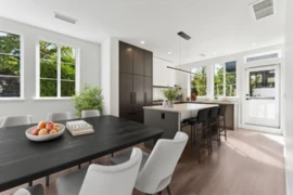
$1,758,800
15 10188 No. 1 Road, Richmond, BC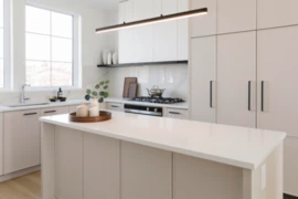
$1,338,800
32 10188 No. 1 Road, Richmond, BC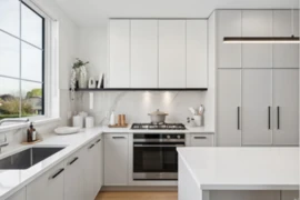
$1,368,800
31 10188 No. 1 Road, Richmond, BC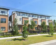
$1,199,000
6 5651 Steveston Highway, Richmond, BC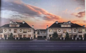
$1,366,000
11 10495 No. 2 Road, Richmond, BC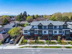 7.1% price reduction
$1,299,000
11 10233 No. 2 Road, Richmond, BC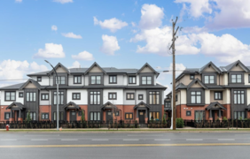
$1,388,000
18 10233 No. 2 Road, Richmond, BC