
 By car (off-peak)


Sold
4
Beds
4
Baths
3324
sqft
1989
built

7389 122a Street, Surrey, British Columbia V3W 3T2


DEVELOPMENT OPPORTUNITY IN SURREY WEST NEWTON! A rare opportunity to acquire an approx. 26,334 sqft (0.6-acre) development site in Surrey. 3 side by side lots, ideally situated on the corner of 122A Street and 74 Avenue, RA zone and falls within Scottsdale Exchange TOA and Low Rise Density OCP, offering potential for lot subdivision or up to 3.0 FSR 8-storey development. Just minutes from Strawberry Hill Shopping Centre, KPU, Newton Athletic Park, and public transit, the site offers excellent accessibility and convenience. A BC Hydro right-of-way is registered on the second and third lots, with potential for parking use. Don’t miss this exceptional opportunity to secure a prime development site in one of Surrey’s desirable and well-connected neighbourhoods. Call today for more information!
| Basement Finished Area (sqft) | 0 |
|---|---|
| Basement Features | Full, Exterior Entry |
| Heating Type | Natural Gas |
| # of Kitchens | 1 |
| Foundation | Concrete Perimeter |
| Exterior Features | Balcony |
|---|---|
| Roof | Asphalt |
| Structures | Residential Detached |
| Price | $5,750,000 |
|---|---|
| Total Bedrooms | 4 |
| Total Bathrooms | 3 |
| Full Bathrooms | 3 |
| Half Bathrooms | 0 |
| Floor Area Total (sqft) | 3208 |
| Year Built | 1977 |
| Age Of Building | 49 |
| Building Type | Single Family Residence |
| Property Type | Residential |
| Stories | 2 |
| Ownership Type | Freehold NonStrata |
| Utility Type | Community |
| Utility Sewer | Public Sewer |
| Water (WaterSource) | Public |
| Parking Type | Detached |
| Total Parking Spaces | 2 |
| Lot Size | 26332 |
|---|---|
| Lot Size Depth | Feet |
| MLS® # | R3180082 |
| Area | Surrey |
| Neighbourhood | West Newton |
| City | Surrey |
| Postal Code | V3W 3T2 |
| Gross Taxes | $6,898.96 |
| Zoning | RM |
| Floor | Type | Dimensions |
|---|---|---|
| Main Level | Living Room | 16' x 16' ft |
| Main Level | Dining Room | 17' x 17' ft |
| Main Level | Kitchen | 17' x 17' ft |
| Main Level | Primary Bedroom | 14' x 14' ft |
| Main Level | Bedroom | 12' x 12' ft |
| Main Level | Bedroom | 11' x 11' ft |
| Below | Family Room | 16' x 16' ft |
| Below | Recreation Room | 20' x 20' ft |
| Below | Games Room | 20' x 20' ft |
| Below | Bedroom | 12' x 12' ft |
| Below | Utility | 11' x 11' ft |
| Floor | Ensuite | Pieces |
|---|---|---|
| Main Level | Yes | #3 |
| Main Level | No | #3 |
| Below | No | #3 |
Listed by: RE/MAX City Realty
NOTE: This representation is based in whole or in part on data generated by the Chilliwack & District Real Estate Board, Fraser Valley Real Estate Board or Greater Vancouver REALTORS® which assumes no responsibility for its accuracy.
Public Schools
Information includes BC Government Open License data; school details change often and are offered solely as general guidance.
Private Schools
Closest Transit
Crime Rate
Demographics
Noise/ Power Lines
Other
7389 122a Street has a sell-speed score of 48/100, placing it in the "Expected to sell at a moderate pace" band. The listing is has limited comparable pricing data available. Based on these signals, EstateBlock predicts this listing is may take several weeks to attract serious offers.
Natural hazards vary by location and can change over time. The following provides a summary of potential impacts to this area, postal code V3W 3T2, over the next 30 years. Projections use the 2041–2070 period (2050s) under a moderate emissions scenario (SSP2-4.5).
Outside of designated flood hazard zones. Under 10% of buildings in this area have flood risk over the next 30 years.
Located within the "Vancouver" WUI zone (Risk Class 5 — Low). Based on BC Wildfire Service provincial WUI Risk Class mapping; not a site-specific assessment.
Annual avg PM2.5 4.5 µg/m³ — meets WHO 2021 guideline. Nearest station: North Delta, Delta (~2.7 km). Annual avg AQHI 2.1 — Low Risk.
Surrey currently sees ~1 day above 30 °C per year (1981–2010 baseline), projected to rise to ~8 by the 2050s (SSP2-4.5 moderate emissions). Hottest day of the year: ~30 °C baseline, ~32.5 °C projected. Tropical nights (>18 °C): ~0 baseline, ~3 projected.
Annual precipitation ~1516 mm (1981–2010 baseline), projected ~1574 mm by the 2050s. Extreme 1-day rainfall: ~51.5 mm baseline, ~57.1 mm projected. Values vary modestly across the Lower Mainland.
Longest annual dry spell (consecutive dry days): ~23 days baseline, ~24 days projected for the 2050s. CDD is used as a regional drought proxy; drought risk varies modestly across the Lower Mainland.


35 Schools are within 3km
| School | Type | Grades Served | Catchment Info | Rating | Distance |
|---|---|---|---|---|---|
Westerman Elementary School |
Public |
Grades ServedK-7
|
Catchment InfoIn Catchment
|
Distance477 m
|
|
Strawberry Hill Elementary School |
Public |
Grades ServedK-7
|
Catchment Info—
|
Distance551 m
|
|
Cougar Creek Elementary School |
Public |
Grades ServedK-7
|
Catchment Info—
|
Distance716 m
|
|
Jarvis Traditional Elementary School |
Public |
Grades ServedK-7
|
Catchment Info—
|
Distance984 m
|
|
Dr. F. D. Sinclair Elementary School |
Public |
Grades ServedK-7
|
Catchment Info—
|
Distance1.20 KM
|
|
Princess Margaret Secondary School |
Public |
Grades Served8-12
|
Catchment InfoIn Catchment
|
Distance1.36 KM
|
|
Beaver Creek Elementary School |
Public |
Grades ServedK-7
|
Catchment Info—
|
Distance1.81 KM
|
|
Cougar Canyon Elementary |
Public |
Grades Served—
|
Catchment Info—
|
Distance1.84 KM
|
|
Seaquam Secondary |
Public |
Grades Served—
|
Catchment Info—
|
Distance1.84 KM
|
|
Kennedy Trail Elementary School |
Public |
Grades ServedK-7
|
Catchment Info—
|
Distance1.85 KM
|
|
Chalmers Elementary School |
Public |
Grades ServedK-7
|
Catchment Info—
|
Distance1.86 KM
|
|
Tamanawis Secondary School |
Public |
Grades Served8-12
|
Catchment Info—
|
Distance1.87 KM
|
|
McCloskey Elementary School |
Public |
Grades ServedK-7
|
Catchment Info—
|
Distance1.92 KM
|
|
Burnsview Secondary |
Public |
Grades Served—
|
Catchment Info—
|
Distance2.05 KM
|
|
Martha Jane Norris Elementary School |
Public |
Grades ServedK-7
|
Catchment Info—
|
Distance2.08 KM
|
|
Gabrielle-Roy |
Public |
Grades Served—
|
Catchment Info—
|
Distance2.09 KM
|
|
Boundary Park Elementary |
Public |
Grades Served—
|
Catchment Info—
|
Distance2.24 KM
|
|
W E Kinvig Elementary School |
Public |
Grades ServedK-7
|
Catchment Info—
|
Distance2.26 KM
|
|
North Delta Secondary |
Public |
Grades Served—
|
Catchment Info—
|
Distance2.32 KM
|
|
Sunshine Hills Elementary School |
Public |
Grades ServedK-7
|
Catchment Info—
|
Distance2.40 KM
|
|
Surrey Muslim School |
Independent |
Grades ServedK-7
|
Catchment Info—
|
Distance2.49 KM
|
|
St Bernadette |
Independent |
Grades Served—
|
Catchment Info—
|
Distance2.51 KM
|
|
St. Bernadette |
Independent |
Grades ServedK-7
|
Catchment Info—
|
Distance2.56 KM
|
|
Sikh Academy |
Independent |
Grades ServedK-7
|
Catchment Info—
|
Distance2.63 KM
|
|
Pinewood Elementary School |
Public |
Grades ServedK-7
|
Catchment Info—
|
Distance2.64 KM
|
|
Richardson Elementary School |
Public |
Grades ServedK-7
|
Catchment Info—
|
Distance2.65 KM
|
|
Newton Elementary School |
Public |
Grades ServedK-7
|
Catchment Info—
|
Distance2.69 KM
|
|
Hellings Elementary School |
Public |
Grades ServedK-7
|
Catchment Info—
|
Distance2.81 KM
|
|
Panorama Park Elementary School |
Public |
Grades ServedK-7
|
Catchment Info—
|
Distance2.83 KM
|
|
Continuing Ed SD36 (Invergarry) |
Public |
Grades Served—
|
Catchment Info—
|
Distance2.95 KM
|
|
Gray Elementary School |
Public |
Grades ServedK-7
|
Catchment Info—
|
Distance2.95 KM
|
|
Annieville Elementary |
Public |
Grades Served—
|
Catchment Info—
|
Distance2.96 KM
|
|
Home Quest |
Public |
Grades Served—
|
Catchment Info—
|
Distance2.96 KM
|
|
J T Brown Elementary School |
Public |
Grades ServedK-7
|
Catchment Info—
|
Distance2.97 KM
|
|
Henry Bose Elementary School |
Public |
Grades ServedK-7
|
Catchment Info—
|
Distance2.98 KM
|
Calculate your commute
7389 122a St, Surrey, BC is ideally located for commuters. The property is 5.8 km from King George, with a 112 min SkyTrain ride to Downtown Vancouver (Waterfront Station). The closest bus stop is Southbound 122 St @ 7300 Block (0.2 km). Walk Score Transit rating: Good Transit (62/100).


| Year | Land | Improvements | Total Assessed | YOY Change |
|---|---|---|---|---|
| 2026 | $1,303,000 | $43,000 | $1,346,000 | — |
Buy Vs Rent Calculator
Rent vs own
—
No active comparable properties are currently available for this property type in Surrey. The price evaluation chart will update as similar listings enter the market.

Potential Cashback for this listing if you buy with us
to track your cashback progress
Buy with us & save on this property
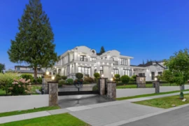
$5,495,000
13083 57 Avenue, Surrey, BC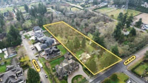
$5,999,000
12866 56 Avenue, Surrey, BC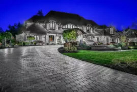
$6,880,000
13283 56 Avenue, Surrey, BC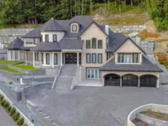
$4,899,000
5579 136b Street, Surrey, BC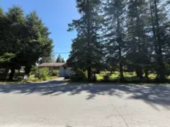 13.8% price reduction
$4,999,000
7272 149a Street, Surrey, BC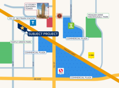
$4,754,500
15043 90a Avenue, Surrey, BC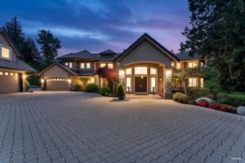
$6,288,000
3575 140 Street, Surrey, BC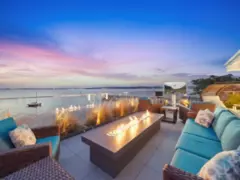
$6,750,000
3106 O'hara Lane, Surrey, BC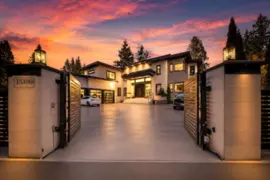
$5,488,888
13396 Crescent Road, Surrey, BC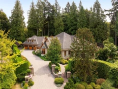 9.4% price reduction
$5,880,000
3122 136 Street, Surrey, BC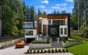
$5,990,000
13046 Crescent Road, Surrey, BC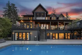 5.5% price reduction
$5,150,000
2737 Crescent Drive, Surrey, BC


