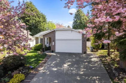
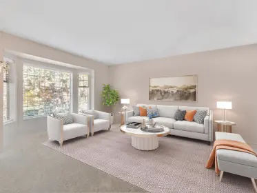

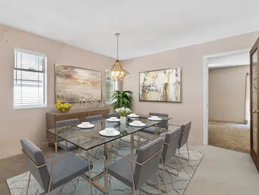
Sold
1898 128a Street, Surrey, BC
3
Beds
2
Baths
1518
sqft
1985
built

1619 138a Street, Surrey, British Columbia V4A 7E6
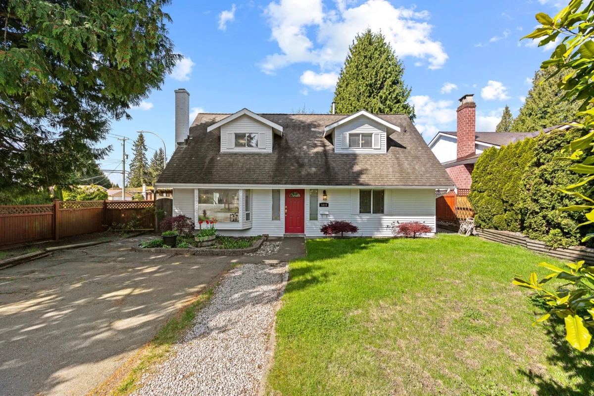


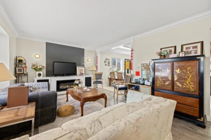
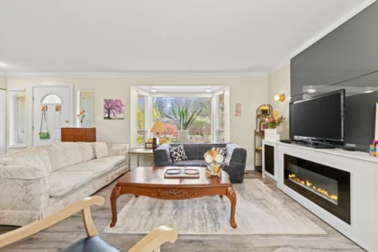
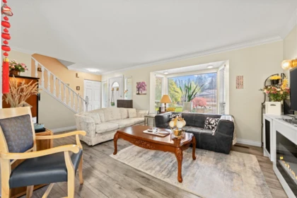
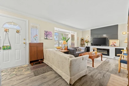
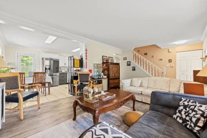
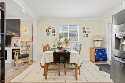
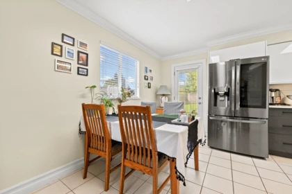
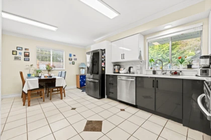
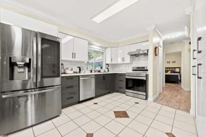
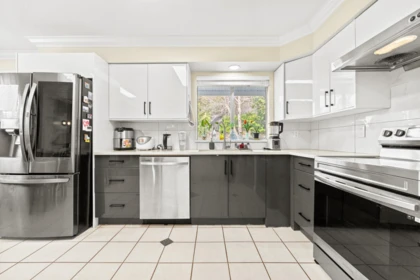
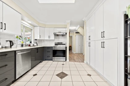
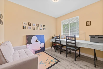
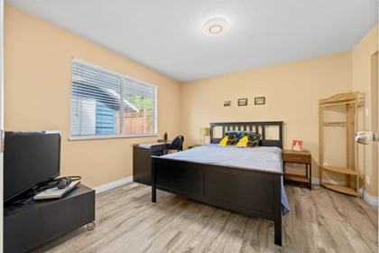
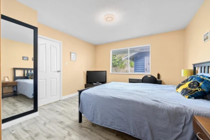
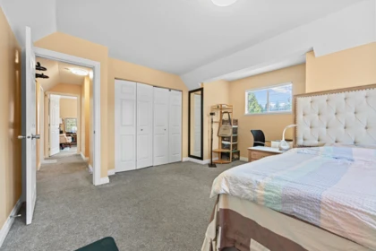
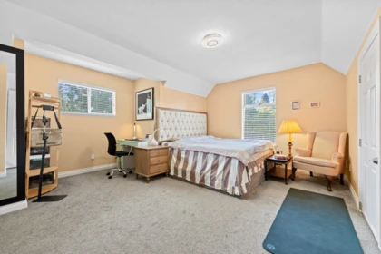
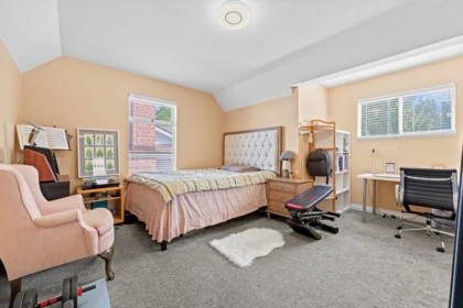
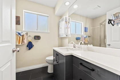
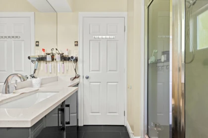
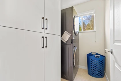
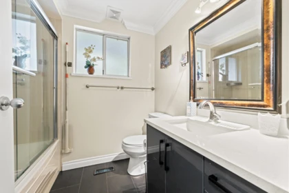
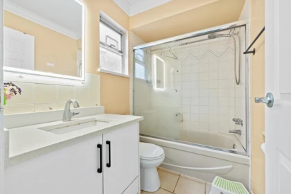
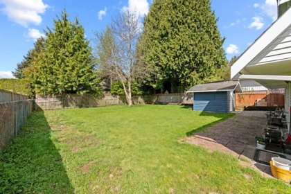
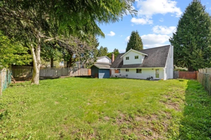
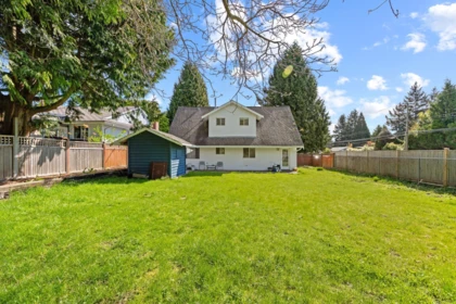
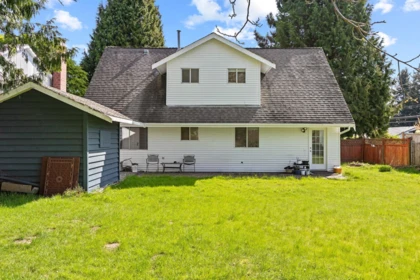
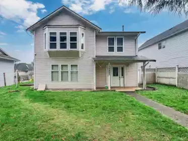
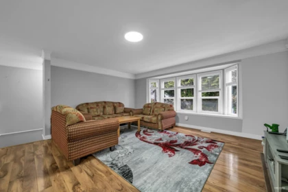
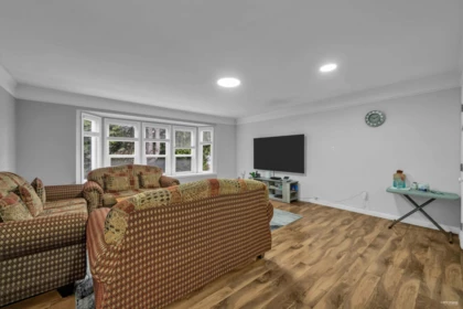
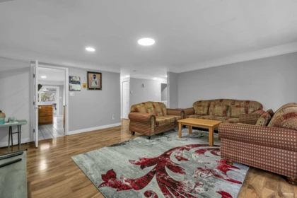
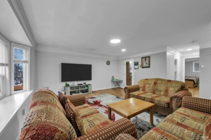
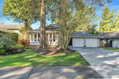
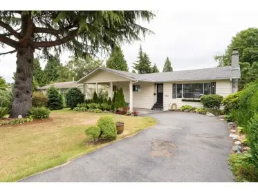
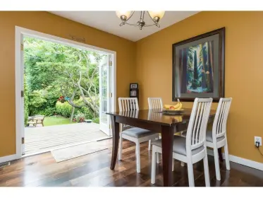
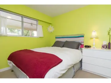
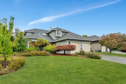
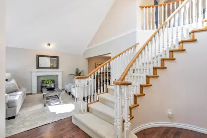
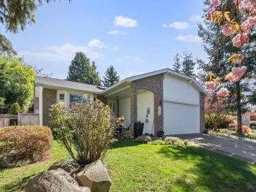
This well-maintained detached home in Sunnyside Park offers exceptional convenience, located along a main route with public transit right at your doorstep. Commuting is effortless, with easy access to nearby shopping centers and seamless connections throughout the Greater Vancouver area, whether by car or transit. The home features 4 bedrooms (2 upstairs,2 downstairs) and 3 bathrooms, with a functional and versatile layout ideal for families or multi-generational living. Bright interiors and well-utilized space provide a comfortable and inviting living environment. Ideally situated just minutes from a wide range of amenities including shopping, dining, community facilities, and the beach.this property may present future redevelopment opportunities and could become attractive to builder.
| Basement Finished Area (sqft) | 0 |
|---|---|
| Basement Features | None |
| Appliances Included | Washer/Dryer, Dishwasher, Refrigerator, Stove, Range Top |
| Heating Type | Forced Air, Natural Gas |
| # of Kitchens | 1 |
| Flooring | Mixed |
| Foundation | Concrete Perimeter |
| Roof | Asphalt |
|---|---|
| Structures | Residential Detached |
| Price | $1,280,000 |
|---|---|
| Total Bedrooms | 4 |
| Total Bathrooms | 3 |
| Full Bathrooms | 3 |
| Half Bathrooms | 0 |
| Floor Area Total (sqft) | 1671 |
| Year Built | 1983 |
| Age Of Building | 43 |
| Building Type | Single Family Residence |
| Property Type | Residential |
| Stories | 2 |
| Ownership Type | Freehold NonStrata |
| Community Features | Shopping Nearby |
| Utility Type | Electricity Connected, Natural Gas Connected, Water Connected |
| Utility Sewer | Public Sewer, Sanitary Sewer |
| Water (WaterSource) | Public |
| Parking Type | Open, Other, RV Access/Parking, Front Access, Concrete |
| Total Parking Spaces | 4 |
| Lot Size | 7104 |
|---|---|
| Lot Size Depth | Feet |
| Lot Size Frontage | 60 |
| MLS® # | R3128724 |
| Area | South Surrey White Rock |
| Neighbourhood | Sunnyside Park Surrey |
| City | Surrey |
| Postal Code | V4A 7E6 |
| Gross Taxes | $5,113.02 |
| Floor | Type | Dimensions |
|---|---|---|
| Main Level | Living Room | 18' x 18' ft |
| Main Level | Dining Room | 12' x 12' ft |
| Main Level | Primary Bedroom | 12' x 12' ft |
| Main Level | Bedroom | 8' x 8' ft |
| Main Level | Kitchen | 12' x 12' ft |
| Above Level | Bedroom | 14' x 14' ft |
| Above Level | Bedroom | 15' x 15' ft |
| Above Level | Laundry | 6' x 6' ft |
| Above Level | Other | 11' x 11' ft |
| Floor | Ensuite | Pieces |
|---|---|---|
| Main Level | Yes | #4 |
| Main Level | Yes | #4 |
| Above Level | Yes | #3 |
Listed by: LeHomes Realty Premier
NOTE: This representation is based in whole or in part on data generated by the Chilliwack & District Real Estate Board, Fraser Valley Real Estate Board or Greater Vancouver REALTORS® which assumes no responsibility for its accuracy.
Public Schools
Information includes BC Government Open License data; school details change often and are offered solely as general guidance.
Private Schools
Closest Transit
Crime Rate
Demographics
Noise/ Power Lines
Other
1619 138a Street has a sell-speed score of 29/100, placing it in the "May take longer than the area average to sell" band. The listing is priced 14.3% above comparable active properties in Sunnyside Park Surrey. The local market is currently a Buyer's Market with a sales-to-active ratio of 7.8% — buyers have more leverage. With only 616 competing homes currently listed, this property has significant competition. Based on these signals, EstateBlock predicts this listing is could take longer than the area average to sell.
Natural hazards vary by location and can change over time. The following provides a summary of potential impacts to this area, postal code V4A 7E6, over the next 30 years. Projections use the 2041–2070 period (2050s) under a moderate emissions scenario (SSP2-4.5).
Outside of designated flood hazard zones. Under 10% of buildings in this area have flood risk over the next 30 years.
Located within the "Vancouver" WUI zone (Risk Class 5 — Low). Based on BC Wildfire Service provincial WUI Risk Class mapping; not a site-specific assessment.
Annual avg PM2.5 4.5 µg/m³ — meets WHO 2021 guideline. Nearest station: North Delta, Delta (~14.8 km). Annual avg AQHI 2.1 — Low Risk.
Surrey currently sees ~1 day above 30 °C per year (1981–2010 baseline), projected to rise to ~8 by the 2050s (SSP2-4.5 moderate emissions). Hottest day of the year: ~30 °C baseline, ~32.5 °C projected. Tropical nights (>18 °C): ~0 baseline, ~3 projected.
Annual precipitation ~1516 mm (1981–2010 baseline), projected ~1574 mm by the 2050s. Extreme 1-day rainfall: ~51.5 mm baseline, ~57.1 mm projected. Values vary modestly across the Lower Mainland.
Longest annual dry spell (consecutive dry days): ~23 days baseline, ~24 days projected for the 2050s. CDD is used as a regional drought proxy; drought risk varies modestly across the Lower Mainland.


13 Schools are within 3km
| School | Type | Grades Served | Catchment Info | Rating | Distance |
|---|---|---|---|---|---|
Ray Shepherd Elementary School |
Public |
Grades ServedK-7
|
Catchment InfoIn Catchment
|
Distance414 m
|
|
Bayridge Elementary |
Public |
Grades Served—
|
Catchment Info—
|
Distance902 m
|
|
Laronde Elementary School |
Public |
Grades ServedK-7
|
Catchment Info—
|
Distance1.49 KM
|
|
Elgin Park Secondary School |
Public |
Grades Served8-12
|
Catchment InfoIn Catchment
|
Distance1.70 KM
|
|
Semiahmoo Secondary School |
Public |
Grades Served8-12
|
Catchment Info—
|
Distance1.91 KM
|
|
H T Thrift Elementary School |
Public |
Grades ServedK-7
|
Catchment Info—
|
Distance1.93 KM
|
|
Chantrell Creek Elementary School |
Public |
Grades ServedK-7
|
Catchment Info—
|
Distance1.94 KM
|
|
Crescent Park Elementary School |
Public |
Grades ServedK-7
|
Catchment Info—
|
Distance2.59 KM
|
|
Ocean Cliff Elementary School |
Public |
Grades ServedK-7
|
Catchment Info—
|
Distance2.73 KM
|
|
Newbridge Academy |
Independent |
Grades Served—
|
Catchment Info—
|
Distance2.84 KM
|
|
Star of the Sea |
Independent |
Grades Served—
|
Catchment Info—
|
Distance2.87 KM
|
|
Star of the Sea School |
Independent |
Grades ServedK-7
|
Catchment Info—
|
Distance2.90 KM
|
|
White Rock Elementary School |
Public |
Grades ServedK-7
|
Catchment Info—
|
Distance2.98 KM
|


| Year | Land | Improvements | Total Assessed | YOY Change |
|---|---|---|---|---|
| 2026 | $1,191,000 | $76,000 | $1,267,000 | — |
Buy Vs Rent Calculator
Rent vs own
—
Comparable data is unavailable at the neighbourhood level. City-wide in Surrey, similar Single Family Residences average $1,120,333 across 9 active listings — this listing is 14.3% above the Surrey average.

Potential Cashback for this listing if you buy with us
to track your cashback progress
Buy with us & save on this property
 5.2% price reduction
$1,470,000
1682 140 Street, Surrey, BC 10.6% price reduction
$1,449,000
1761 140a Street, Surrey, BC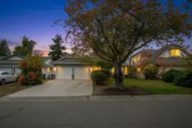
$1,379,000
14129 16a Avenue, Surrey, BC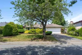
$1,395,000
14151 16a Avenue, Surrey, BC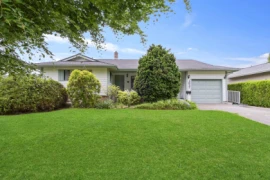 6.1% price reduction
$1,385,000
1827 142nd Street, Surrey, BC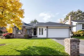
$1,418,000
14124 19a Avenue, Surrey, BC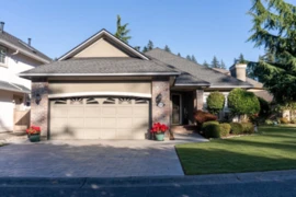
$1,368,000
2230 140 Street, Surrey, BC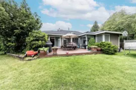
$1,390,000
14636 18 Avenue, Surrey, BC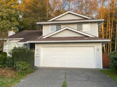
$1,398,000
14645 18 Avenue, Surrey, BC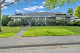 9.8% price reduction
$1,388,000
2151 148a Street, Surrey, BC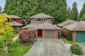
$1,048,000
14972 Southmere Close, Surrey, BC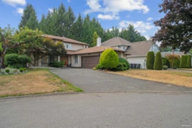
$1,528,000
2333 150b Street, Surrey, BC