By car (off-peak)
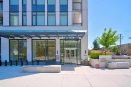
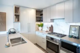
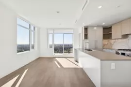
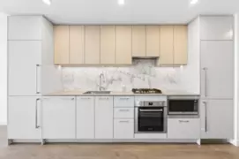
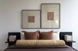
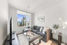
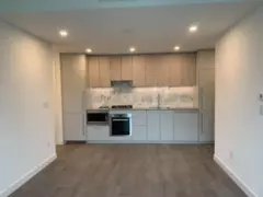
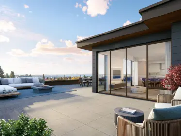
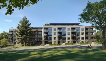
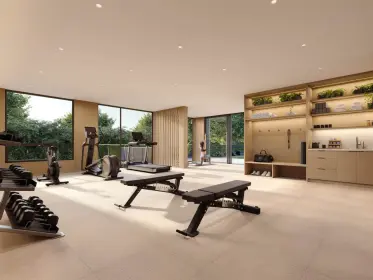
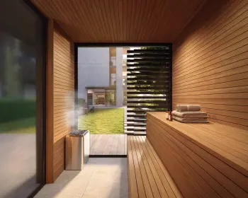
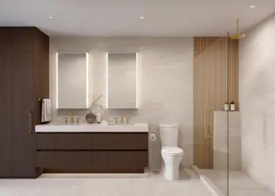
Sold
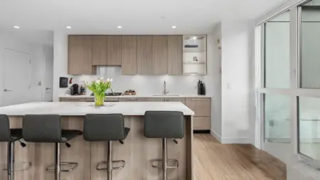
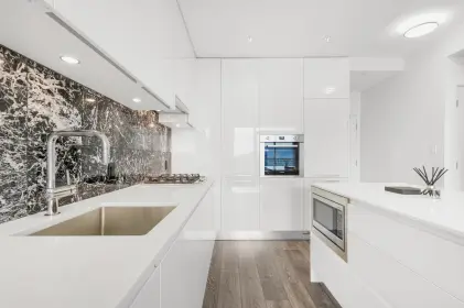
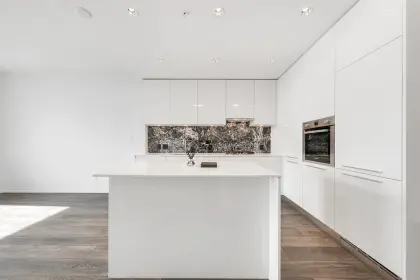
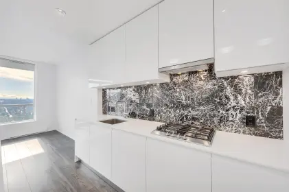
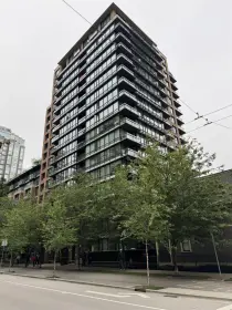
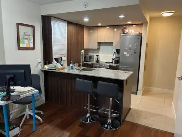
504 5255 Kersland Drive, Vancouver, BC
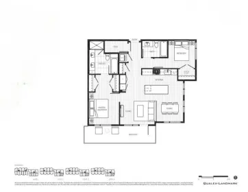
2
Beds
2
Baths
988
sqft
2026
built

6468 Willingdon Avenue, Metrotown, Burnaby
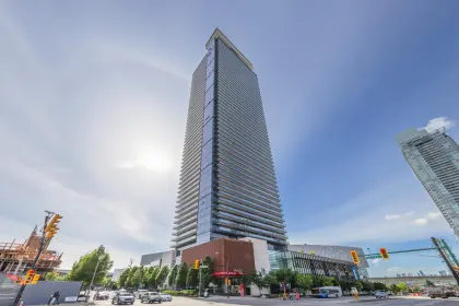
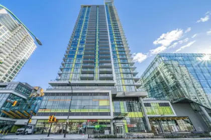
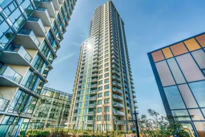
The Standard building detailsBuilding
Bylaws on record
Market at The Standard
$964/sqft, 13% below the building median of $1,108.
From MLS® and public strata records. Verify against the current Form B and registered bylaws.
SkyTrain 0.48 km · crime below average · sell-speed score 50/100 (moderate pace) · flood lower risk · wildfire low


Source: EstateBlock school rating, computed from BC Ministry of Education and Child Care school reports, 2025/2026.
Source: TransLink GTFS, Dec 2025.
Source: RCMP Burnaby detachment open data, 2020.
503 6468 Willingdon Avenue has a sell-speed score of 50/100, placing it in the "Expected to sell at a moderate pace" band. The listing is priced 13.8% below comparable active properties in Metrotown, which is a strong competitive signal. The local market is currently a Buyer's Market with a sales-to-active ratio of 10.4% and an area average of 52 days on market — buyers have more leverage. With 471 competing homes currently listed, this property has significant competition. Based on these signals, EstateBlock predicts this listing is may take several weeks to attract serious offers.
EstateBlock sell-speed model, computed from Greater Vancouver MLS® history, updated daily.
Natural hazards vary by location and can change over time. The following provides a summary of potential impacts to this area, postal code V5H 0L3, over the next 30 years. Projections use the 2041–2070 period (2050s) under a moderate emissions scenario (SSP2-4.5).
Outside of designated flood hazard zones. Under 10% of buildings in this area have flood risk over the next 30 years.
Located within the "Vancouver" WUI zone (Risk Class 5 — Low). Based on BC Wildfire Service provincial WUI Risk Class mapping; not a site-specific assessment.
Annual avg PM2.5 4.4 µg/m³ — meets WHO 2021 guideline. Nearest station: Burnaby South, Burnaby (~2.1 km). Annual avg AQHI 2.2 — Low Risk.
Burnaby currently sees ~1 day above 30 °C per year (1981–2010 baseline), projected to rise to ~7 by the 2050s (SSP2-4.5 moderate emissions). Hottest day of the year: ~30 °C baseline, ~32.4 °C projected. Tropical nights (>18 °C): ~0 baseline, ~3 projected.
Annual precipitation ~1393 mm (1981–2010 baseline), projected ~1445 mm by the 2050s. Extreme 1-day rainfall: ~47.8 mm baseline, ~53.3 mm projected. Values vary modestly across the Lower Mainland.
Longest annual dry spell (consecutive dry days): ~24 days baseline, ~25 days projected for the 2050s. CDD is used as a regional drought proxy; drought risk varies modestly across the Lower Mainland.
Source: BC Wildfire Service, provincial WUI Risk Class map, 2026.
Source: BC Air Quality monitoring network, Burnaby South station, 2024 annual average.
Source: ClimateData.ca (PCIC / Environment and Climate Change Canada), 1981–2010 baseline, SSP2-4.5.
23 Schools are within 3km
| School | Type | Grades Served | Catchment Info | Rating | Distance |
|---|---|---|---|---|---|
South Slope Elementary School |
Public |
Grades ServedK-7
|
Catchment Info—
|
Distance1.02 KM
|
|
BC Provincial School For The Deaf Elementary |
Public |
Grades Served—
|
Catchment Info—
|
Distance1.03 KM
|
|
Burnaby Youth Hub Secondary Program |
Public |
Grades Served—
|
Catchment Info—
|
Distance1.03 KM
|
|
Chaffey-Burke Elementary School |
Public |
Grades ServedK-7
|
Catchment Info—
|
Distance1.11 KM
|
|
Suncrest Elementary School |
Public |
Grades ServedK-7
|
Catchment Info—
|
Distance1.18 KM
|
|
Champlain Heights Community Elementary School |
Public |
Grades ServedK-7
|
Catchment Info—
|
Distance1.32 KM
|
|
Dr. H. N. MacCorkindale Elementary School |
Public |
Grades ServedK-7
|
Catchment Info—
|
Distance1.51 KM
|
|
Nelson Elementary School |
Public |
Grades ServedK-7
|
Catchment Info—
|
Distance1.52 KM
|
|
École Inman Elementary |
Public |
Grades ServedK-7
|
Catchment Info—
|
Distance1.65 KM
|
|
Champlain Heights Annex |
Public |
Grades ServedK-3
|
Catchment Info—
|
Distance1.89 KM
|
|
Captain James Cook Elementary School |
Public |
Grades ServedK-7
|
Catchment Info—
|
Distance1.96 KM
|
|
Burnaby South Secondary |
Public |
Grades Served—
|
Catchment Info—
|
Distance2.06 KM
|
|
Collingwood Neighbourhood School |
Public |
Grades ServedK-3
|
Catchment Info—
|
Distance2.07 KM
|
|
Moscrop Secondary School |
Public |
Grades Served8-12
|
Catchment Info—
|
Distance2.12 KM
|
|
Graham Bruce Community Elementary School |
Public |
Grades ServedK-7
|
Catchment Info—
|
Distance2.30 KM
|
|
Killarney Secondary School |
Public |
Grades Served8-12
|
Catchment Info—
|
Distance2.51 KM
|
|
Cascade Heights Elementary |
Public |
Grades ServedK-7
|
Catchment Info—
|
Distance2.51 KM
|
|
Windsor Elementary School |
Public |
Grades ServedK-7
|
Catchment Info—
|
Distance2.61 KM
|
|
Anne-Hebert |
Public |
Grades Served—
|
Catchment Info—
|
Distance2.66 KM
|
|
Clinton Elementary School |
Public |
Grades ServedK-7
|
Catchment Info—
|
Distance2.66 KM
|
|
Sir Wilfred Grenfell Community |
Public |
Grades Served—
|
Catchment Info—
|
Distance2.71 KM
|
|
Sir Wilfred Grenfell Community School |
Public |
Grades ServedK-7
|
Catchment Info—
|
Distance2.71 KM
|
|
Gilpin Elementary School |
Public |
Grades ServedK-7
|
Catchment Info—
|
Distance2.83 KM
|
Source: EstateBlock school rating, computed from BC Ministry of Education and Child Care school reports, 2025/2026.
Calculate your commute
503 6468 Willingdon Ave, Burnaby, BC is ideally located for commuters. The property is 0.5 km from Metrotown, with a 27 min SkyTrain ride to Downtown Vancouver (Waterfront Station). The closest bus stop is Northbound Willingdon Ave @ Maywood St (0.03 km). Walk Score Transit rating: Excellent Transit (86/100).


Source: Walk Score.
Greater Vancouver REALTORS® MLS® data via EstateBlock, updated Nov 22, 2026.

Potential Cashback for this listing if you buy with us
to track your cashback progress
Buy with us & save on this property
$385,000
1504 6595 Willingdon Avenue, Burnaby, BC
$419,900
1608 6595 Willingdon Avenue, Burnaby, BC
$408,800
1404 6595 Willingdon Avenue, Burnaby, BC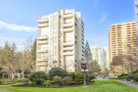 8.0% price reduction
$458,888
406 4200 Mayberry Street, Burnaby, BC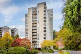
$399,900
1505 6689 Willingdon Avenue, Burnaby, BC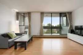
$449,000
704 6689 Willingdon Avenue, Burnaby, BC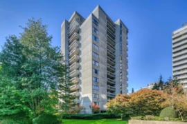
$469,500
705 6689 Willingdon Avenue, Burnaby, BC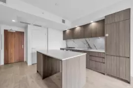 9.3% price reduction
$449,000
1803 6463 Silver Avenue, Burnaby, BC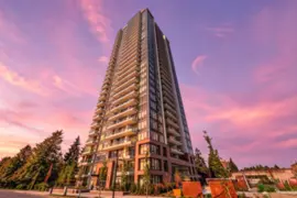
$429,000
303 6463 Silver Avenue, Burnaby, BC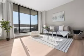
$389,000
706 6759 Willingdon Avenue, Burnaby, BC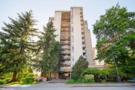
$388,000
1105 6759 Willingdon Avenue, Burnaby, BC
$389,900
1202 6759 Willingdon Avenue, Burnaby, BC