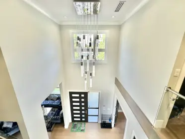
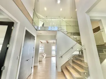
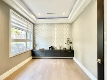
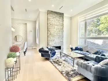
By car (off-peak)
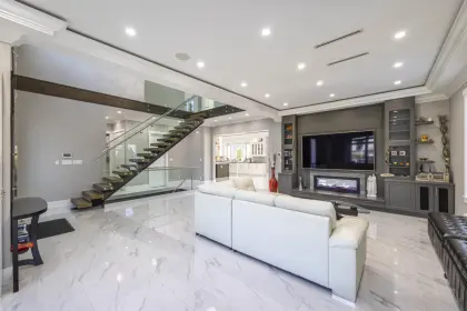
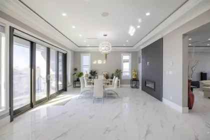
Sold
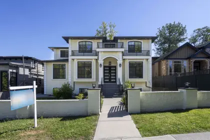
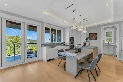
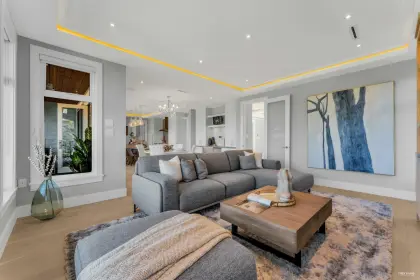
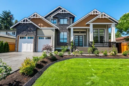
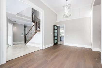
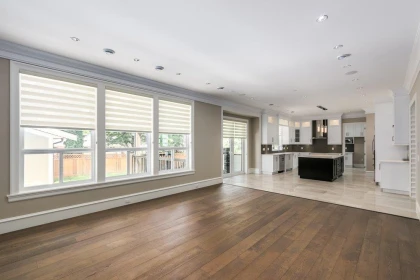
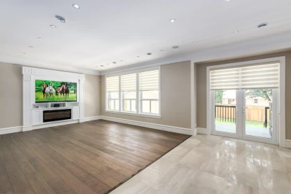
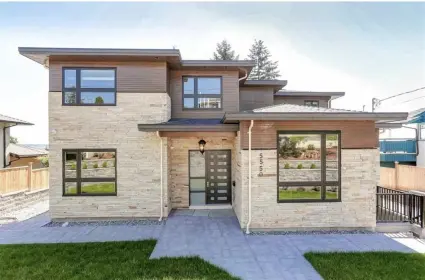
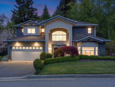
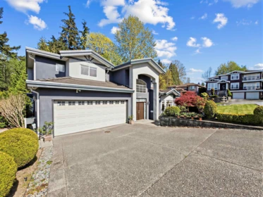
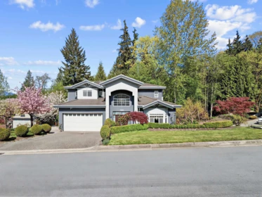
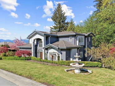
6790 Winch Street, Burnaby, BC
5
Beds
6
Baths
5301
sqft
2020
built

5208 Carson Street, Burnaby, British Columbia V5J 2Z2
SkyTrain 1.20 km · crime below average · sell-speed score 42/100 (may take longer) · flood lower risk · wildfire low


Information includes BC Government Open License data; school details change often and are offered solely as general guidance.
Source: EstateBlock school rating, computed from BC Ministry of Education and Child Care school reports, 2025/2026.
Source: EstateBlock school rating, computed from BC Ministry of Education and Child Care school reports, 2025/2026.
Source: TransLink GTFS, Dec 2025.
Source: RCMP Burnaby detachment open data, 2020.
5208 Carson Street has a sell-speed score of 42/100, placing it in the "May take longer than the area average to sell" band. The local market is currently a Buyer's Market with a sales-to-active ratio of 11.5% and an area average of 33 days on market — buyers have more leverage. With 192 competing homes currently listed, this property has significant competition. Based on these signals, EstateBlock predicts this listing is could take longer than the area average to sell.
EstateBlock sell-speed model, computed from Greater Vancouver MLS® history, updated daily.
Natural hazards vary by location and can change over time. The following provides a summary of potential impacts to this area, postal code V5J 2Z2, over the next 30 years. Projections use the 2041–2070 period (2050s) under a moderate emissions scenario (SSP2-4.5).
Outside of designated flood hazard zones. Under 10% of buildings in this area have flood risk over the next 30 years.
Located within the "Vancouver" WUI zone (Risk Class 5 — Low). Based on BC Wildfire Service provincial WUI Risk Class mapping; not a site-specific assessment.
Annual avg PM2.5 4.4 µg/m³ — meets WHO 2021 guideline. Nearest station: Burnaby South, Burnaby (~0.7 km). Annual avg AQHI 2.2 — Low Risk.
Burnaby currently sees ~1 day above 30 °C per year (1981–2010 baseline), projected to rise to ~7 by the 2050s (SSP2-4.5 moderate emissions). Hottest day of the year: ~30 °C baseline, ~32.4 °C projected. Tropical nights (>18 °C): ~0 baseline, ~3 projected.
Annual precipitation ~1393 mm (1981–2010 baseline), projected ~1445 mm by the 2050s. Extreme 1-day rainfall: ~47.8 mm baseline, ~53.3 mm projected. Values vary modestly across the Lower Mainland.
Longest annual dry spell (consecutive dry days): ~24 days baseline, ~25 days projected for the 2050s. CDD is used as a regional drought proxy; drought risk varies modestly across the Lower Mainland.
Source: BC Wildfire Service, provincial WUI Risk Class map, 2026.
Source: BC Air Quality monitoring network, Burnaby South station, 2024 annual average.
Source: ClimateData.ca (PCIC / Environment and Climate Change Canada), 1981–2010 baseline, SSP2-4.5.
16 Schools are within 3km
| School | Type | Grades Served | Catchment Info | Rating | Distance |
|---|---|---|---|---|---|
Glenwood Elementary School |
Public |
Grades ServedK-7
|
Catchment InfoIn Catchment
|
Distance742 m
|
|
Clinton Elementary School |
Public |
Grades ServedK-7
|
Catchment Info—
|
Distance800 m
|
|
Nelson Elementary School |
Public |
Grades ServedK-7
|
Catchment Info—
|
Distance837 m
|
|
Burnaby South Secondary |
Public |
Grades Served—
|
Catchment Info—
|
Distance844 m
|
|
BC Provincial School For The Deaf Elementary |
Public |
Grades Served—
|
Catchment Info—
|
Distance1.38 KM
|
|
South Slope Elementary School |
Public |
Grades ServedK-7
|
Catchment Info—
|
Distance1.41 KM
|
|
Burnaby Youth Hub Secondary Program |
Public |
Grades Served—
|
Catchment Info—
|
Distance1.53 KM
|
|
Windsor Elementary School |
Public |
Grades ServedK-7
|
Catchment Info—
|
Distance1.69 KM
|
|
St. Francis de Sales |
Independent |
Grades ServedK-7
|
Catchment Info—
|
Distance1.98 KM
|
|
Our Lady of Mercy |
Independent |
Grades Served—
|
Catchment Info—
|
Distance2.02 KM
|
|
Taylor Park Elementary School |
Public |
Grades ServedK-7
|
Catchment Info—
|
Distance2.07 KM
|
|
Brantford Elementary School |
Public |
Grades ServedK-7
|
Catchment Info—
|
Distance2.30 KM
|
|
Suncrest Elementary School |
Public |
Grades ServedK-7
|
Catchment Info—
|
Distance2.30 KM
|
|
Connaught Heights Elementary |
Public |
Grades Served—
|
Catchment Info—
|
Distance2.51 KM
|
|
Fraser Park Secondary School Program |
Public |
Grades Served—
|
Catchment Info—
|
Distance2.56 KM
|
|
Morley Elementary School |
Public |
Grades ServedK-7
|
Catchment Info—
|
Distance2.91 KM
|
Source: EstateBlock school rating, computed from BC Ministry of Education and Child Care school reports, 2025/2026.
Calculate your commute
5208 Carson St, Burnaby, BC is ideally located for commuters. The property is 1.2 km from Royal Oak, with a 37 min SkyTrain ride to Downtown Vancouver (Waterfront Station). The closest bus stop is Westbound Marine Dr @ Royal Oak Ave (0.27 km). Walk Score Transit rating: Some Transit (48/100).


Source: Walk Score.
Greater Vancouver REALTORS® MLS® data via EstateBlock, updated Nov 22, 2026.

Potential Cashback for this listing if you buy with us
to track your cashback progress
Buy with us & save on this property
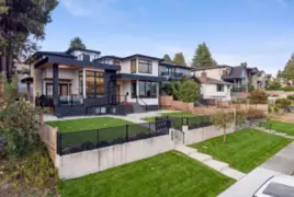
$3,268,000
5243 Carson Street, Burnaby, BC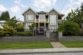
$2,868,000
5399 Carson Street, Burnaby, BC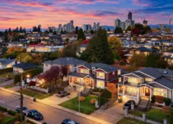
$2,888,000
5511 Mckee Street, Burnaby, BC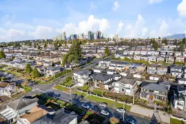
$3,588,800
5619 Portland Street, Burnaby, BC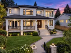
$3,480,000
4791 Clinton Street, Burnaby, BC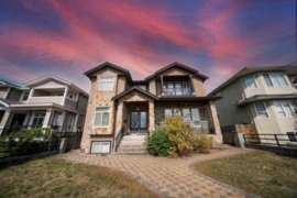
$2,598,000
5957 Mckee Street, Burnaby, BC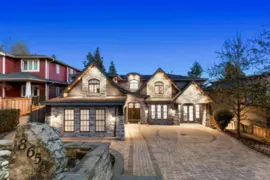
$2,999,000
8656 Gilley Avenue, Burnaby, BC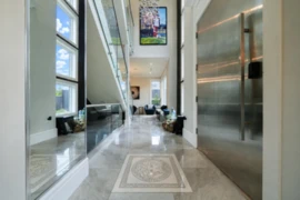
$2,699,000
6069 Patrick Street, Burnaby, BC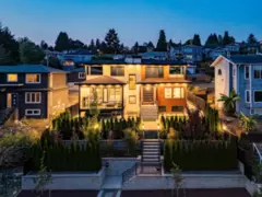
$3,780,000
4479 Carson Street, Burnaby, BC 6.4% price reduction
$2,799,000
7649 Sussex Avenue, Burnaby, BC